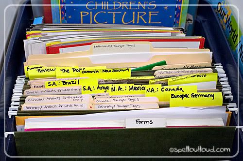
Yesterday I blogged about how we've
organized the Expedition Earth curriculum for our local co-op. Today I thought I'd share how we implement the curriculum.
Class Time: 45 minutes (we could really use 1 hour, or more if adding in crafts)
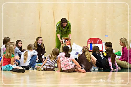
We have our kids divided into two groups: older (3rd-5th grade) and younger (K-2nd). For the first 10 minutes of class we all meet together.
Large Group time: (10 minutes)
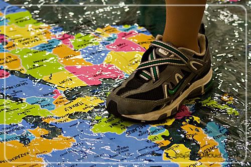
First we lay out our large shower curtain map onto the floor. This serves two purposes:
1.) It creates a space where the kids know where to sit (they all sit around the 3 edges of the curtain)
2.) It provides a hands-on way to find the country we are learning about.
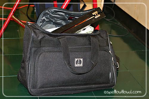
Each week the teacher has a suitcase/travel bag filled with artifacts and pictures from the country we are studying. We pull out the artifacts and have the children try to guess what country we are traveling to for that day. The kids love this!
Sometimes it is hard to scrounge up materials, but when in a pinch, I have Googled images and laminated them to pass around. After the country is guessed, we have students find the country on the large floor map and then we quickly go over what the flag looks like, and the animals found in that country (print out from
Expedition Earth: Animals). Next we listen to the
Wee-Sing Around the World 
song for that country and then break into smaller age-appropriate groups.
Younger group:
We use the
large shower curtain floor map
a lot! Each week we go over the continents and sing the continents song from
Geography Songs
by Kathy Troxel. Each child walks the continents while we sing the song. We do the same for the
oceans of the world. We'll do this until we feel like they are pretty proficient, then we'll move to other large map geography games.
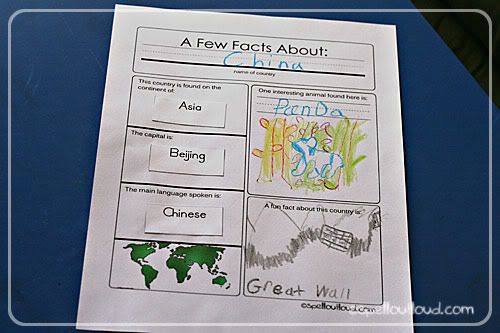
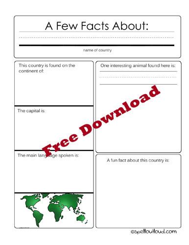
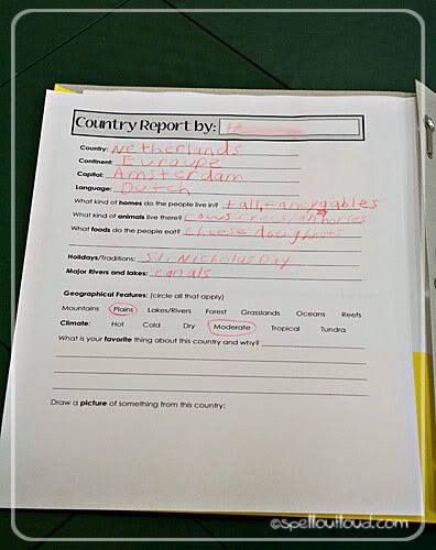
Next the younger kids go to a table to work on their Expedition Earth notebooks. First they get their stamps in their passports and then start working on their country fact sheet. In this age group, most of our kids are very young and struggle with writing. They could not fill out the country fact sheet in the original Expedition Earth currciulum because it had too much writing. I created a simple fact page for them that we use for each country. I also typed out the answers to the following questions for each country:
1. This country is found on the continent of:
2. The capital is:
3. The main language spoken is:
We go over those answers, find the capital on the map and then glue the answers in the appropriate space on the fact sheet. Next we show the animals poster again and the kids draw one of their favorite animals from that country. Finally, they can draw about an interesting place, artifact etc. or paste a picture from a magazine from that country.
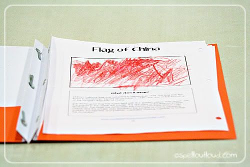
On the back-side of the fact sheet there is a flag printable for that country (downloaded from the
Expedition Earth curriculum).
Once done, this is placed in their Expedition Earth folder. If there is extra time we work on the geography puzzles, do the
Continent Hop game, or play with the inflatable globe.
Older group:
The older kids use the country fact sheet found in the
Expedition Earth curriculum. On the back of the fact sheet, the map sheet is copied and they also do mapwork (they use a combination of the maps from the
Expedition Earth curriculum and
Homeschool Creations). The teacher brings in several books for them to find the answers to the fact sheet. Then they do the mapwork together and talk about ways to pray for that country. Each child places their finished page into their Expedition Earth folder and brings home a prayer card for that country.
So that's how we've used the
Expedition Earth curriculum for our co-op. If we had more time, we 'd love to add in some crafts and foods, but we are able to add those elements at home during the week. I love that we can use this curriculum at home and in co-op!

Labels: geography, printables


